#nothappeningdude
By Carlos Silva, a GIS Specialist reflecting on geospatial trends around Vancouver, BC, Canada.
Friday, 25 April 2014
When an engineer comes up to me at 4:25 on a Friday asking for a map....
#nothappeningdude
Monday, 7 April 2014
Adding CKAN Open Data Geospatial Icons
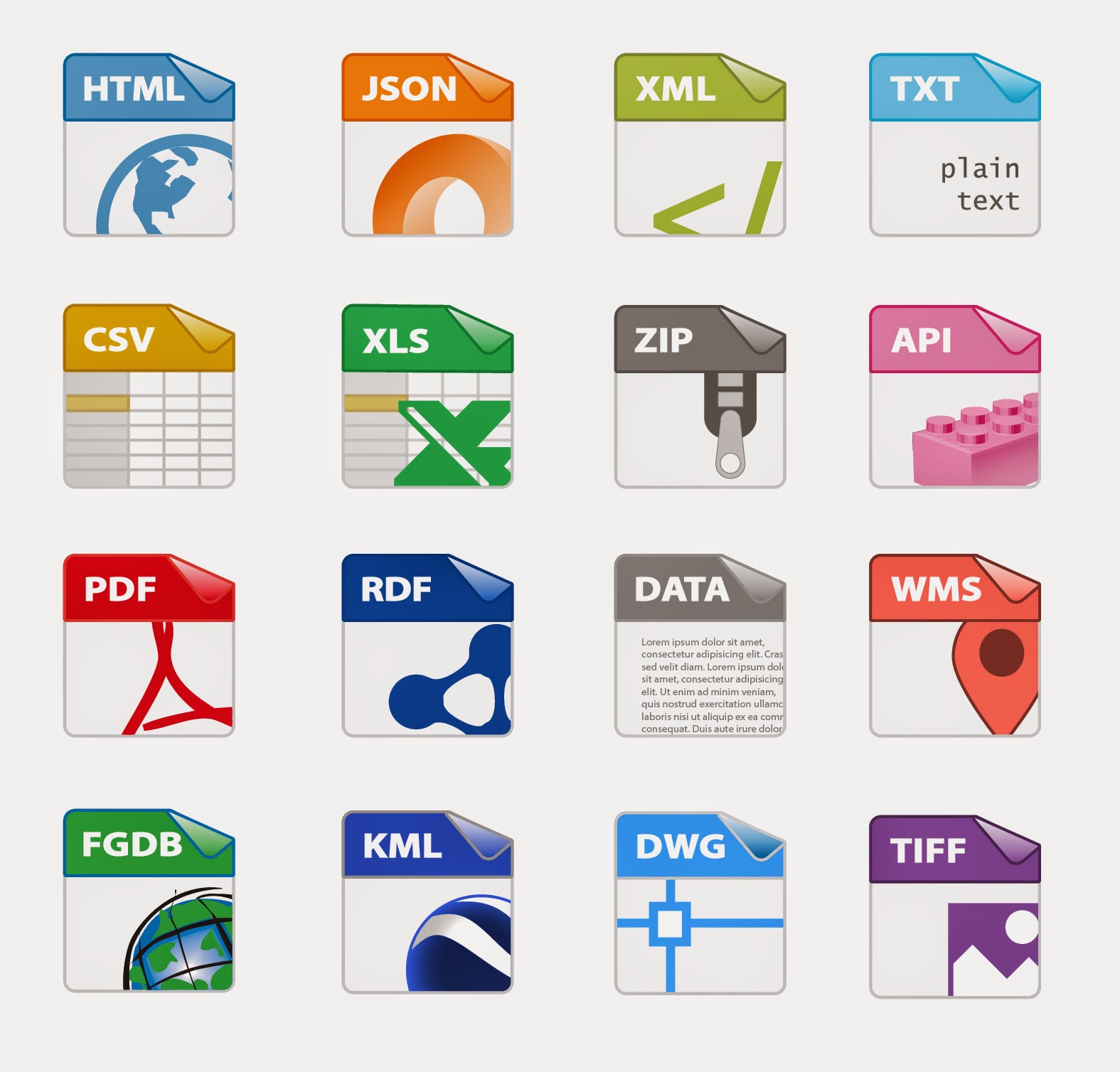
A little something I've been working on for the City of Surrey Open Data Website. The CKAN github project lacked some geospatial icons, so thanks Adobe Illustrator and the Sam Smith's original design files, I've created a template for AI and hacked a few more designs to add to the CKAN sprite image later on.
Kudos to Sam Smith, Aron Carroll, & Stéphane Guidoin for their help on this.
Thoughts on the last few geospatial design icons?
(Yes, I know there's no shapefile icon. We here at the City have decided not to offer that tidbit on Open Data. Make of it what you will...)
CKAN Icon Template 54x62 px
Kudos to Sam Smith, Aron Carroll, & Stéphane Guidoin for their help on this.
Thoughts on the last few geospatial design icons?
(Yes, I know there's no shapefile icon. We here at the City have decided not to offer that tidbit on Open Data. Make of it what you will...)
CKAN Icon Template 54x62 px
Subscribe to:
Comments (Atom)
