A couple of things:
Cool Open Data Site: City of Burnaby
Career/Life Advice: via Lifehacker
March highlight: Off to Reno Nevada for the AAAE 2017 GIS Conference
Kudos: FME Presentation by Tim Albert of the Victoria Airport Authority
Me today, trying to wrap up stuff....
By Carlos Silva, a GIS Specialist reflecting on geospatial trends around Vancouver, BC, Canada.
Showing posts with label municipal GIS. Show all posts
Showing posts with label municipal GIS. Show all posts
Friday, 3 March 2017
Friday, 25 April 2014
When an engineer comes up to me at 4:25 on a Friday asking for a map....
#nothappeningdude
Monday, 7 April 2014
Adding CKAN Open Data Geospatial Icons
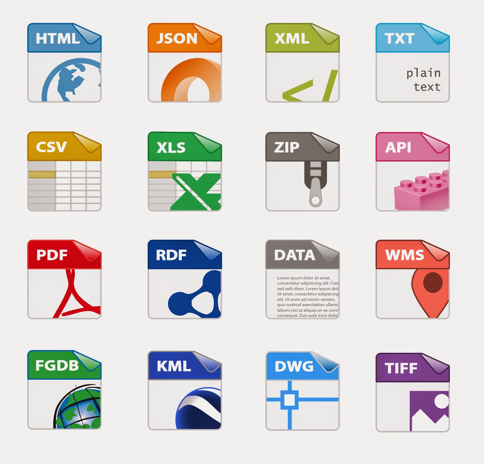
A little something I've been working on for the City of Surrey Open Data Website. The CKAN github project lacked some geospatial icons, so thanks Adobe Illustrator and the Sam Smith's original design files, I've created a template for AI and hacked a few more designs to add to the CKAN sprite image later on.
Kudos to Sam Smith, Aron Carroll, & Stéphane Guidoin for their help on this.
Thoughts on the last few geospatial design icons?
(Yes, I know there's no shapefile icon. We here at the City have decided not to offer that tidbit on Open Data. Make of it what you will...)
CKAN Icon Template 54x62 px
Kudos to Sam Smith, Aron Carroll, & Stéphane Guidoin for their help on this.
Thoughts on the last few geospatial design icons?
(Yes, I know there's no shapefile icon. We here at the City have decided not to offer that tidbit on Open Data. Make of it what you will...)
CKAN Icon Template 54x62 px
Friday, 28 February 2014
How I feel about New City Hall...
Boom! More awesome stuff to check out around my new workplace....

(HT +BuzzFeed for the gif)
Great set of pictures here.

(HT +BuzzFeed for the gif)
Great set of pictures here.
Wednesday, 22 January 2014
My Map, Deconstructed
Thoughts?
I'm working on a new template where I've been reducing down the roads and parks as background layers. Here I've got the watercourses in south surrey as the main focus, colored with our standard symbology for fish habitat. Trying to find a green for parks that is fairly neutral is tough when one of your line symbols is a bright green.
(But will the print colors match? Sigh, don't even get me started....)
Friday, 22 November 2013
Exhausting #GISWeek
Right now....

After this workweek.... ugh, so busy!
And what I'm going to do when I get home....

#GISWeek

After this workweek.... ugh, so busy!
And what I'm going to do when I get home....
#GISWeek
Labels:
animated gif,
GIS Day,
municipal GIS
Friday, 26 July 2013
Career Illumination
After almost 6 yrs doing map production, I really gotta learn some JavaScript and Python. Again.
Argh. The banes of GIS work... You are either a mapper or a programmer, and the two are not that interchangeable at the municipal GIS level....
That open source web GIS with leaflet is looking interesting. Might have to cut my teeth on that sometime.
Thursday, 23 May 2013
Tuesday, 26 March 2013
Wednesday, 19 November 2008
GIS Day 2008 - Back to Blogging
It's been a busy, busy year. Everything from a new job here at the City of Surrey, to getting married, to getting back on track with this blog. Maybe James will let me back on Planet Geospatial if I get more consistent!
Today is GIS Day in North America and I've resolved to try and blog at least once a week. We'll see how it goes (must remember these handy tidbits)....
So.... here's a few things happening in Metro Vancouver around GIS Day 2008.
ESRI Regional User Conference: Vancouver. Note to self: Taking place in Burnaby....?
If you need more info on managing your rasters and mobile GIS solutions, this is good place to get the info.
Ron Lake, of locally based Galdos Systems, has blogged about the Geoweb & eGovernance.
URISA BC will holding their winter one-day conference in January 2009. Topic: GIS Analysis and 3D Modelling. These local URISA seminars are pretty good for meeting fellow GIS'ers in municipal gov't and the projects they've worked on lately.
Subscribe to:
Posts (Atom)


