Showing posts with label open source. Show all posts

Monday, 9 March 2015

When I read the BC Gov't is joining GitHub...


More info here. (Part of the BCDevExchange Program)

In the spirit of open source projects and development, perhaps a good project might be for a new replacement to the Ministry of Education's BCeSIS program; let's open source the $1.5 million investment the Saanich School District made into the OpenStudent program!
Monday, 7 April 2014

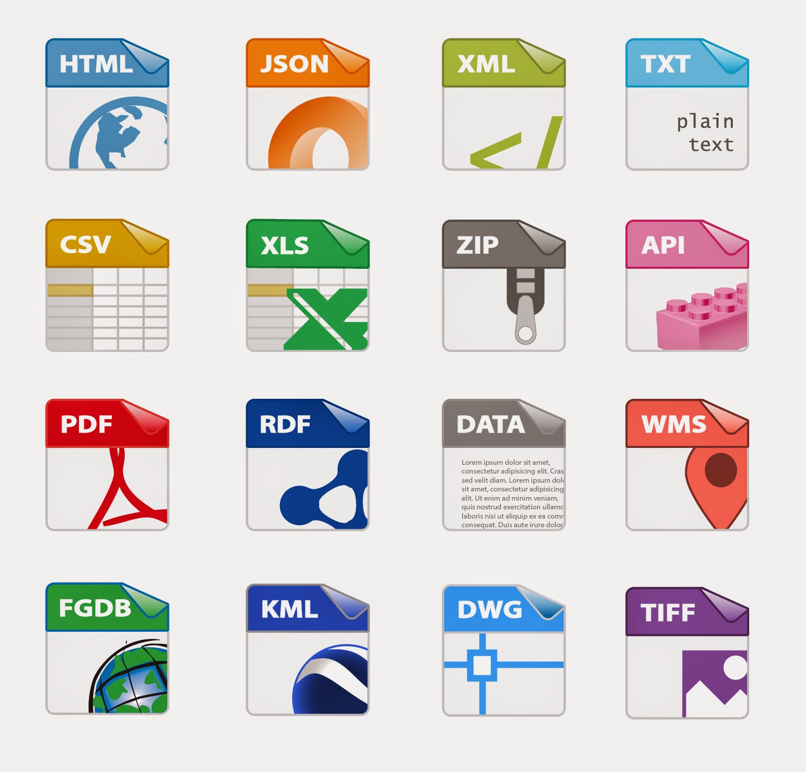
Adding CKAN Open Data Geospatial Icons

A little something I've been working on for the City of Surrey Open Data Website. The CKAN github project lacked some geospatial icons, so thanks Adobe Illustrator and the Sam Smith's original design files, I've created a template for AI and hacked a few more designs to add to the CKAN sprite image later on.

Kudos to Sam Smith, Aron Carroll, & Stéphane Guidoin for their help on this.

Thoughts on the last few geospatial design icons?

(Yes, I know there's no shapefile icon. We here at the City have decided not to offer that tidbit on Open Data. Make of it what you will...)

CKAN Icon Template 54x62 px

Thursday, 23 January 2014

Geospatial Data Analyst posting at Boundless

(HT: Paul Ramsey)
I'm pretty much joined to the hip with the ESRI product line and to my hometown of Vancouver, but if I was a young turk again with no family and aspirations for bigger things, I would have totally applied for this. Nice little sweet spot between being the map production guy and the hard-core geodeveloper.

Seriously kids, if you are in the Open Source Geo World, it looks like a great opportunity. Amazing what changes are going on in the geospatial industry right now.

(and if Homeland is any indication, Maryland, VA seems like a nice suburb of Washington DC. NYC might kill you on the daily expenses, but heck, it's NYC, so there's no shortage of stuff to take in, right?)

Friday, 26 July 2013

Career Illumination

After almost 6 yrs doing map production, I really gotta learn some JavaScript and Python. Again. 

Argh. The banes of GIS work... You are either a mapper or a programmer, and the two are not that interchangeable at the municipal GIS level.... 

That open source web GIS with leaflet is looking interesting. Might have to cut my teeth on that sometime.